Wildlife
The Invisible Highway
How migratory animals navigate a world we barely notice
The animals are not lost. The map is.
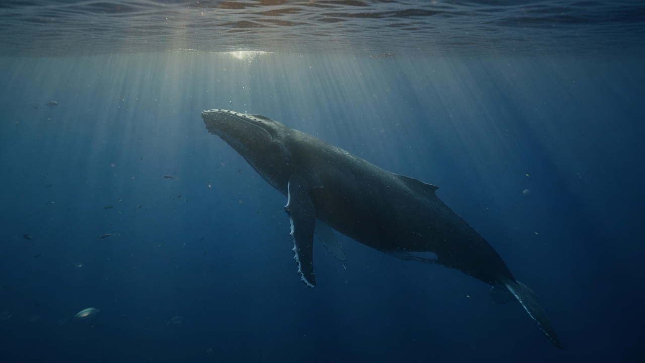
A whale’s coastwise path, a wildebeest’s grass, a warbler’s night flight, a salmon’s river: these are highways without pavement. They exist as memory, as instinct, as a chain of places that must still be there when the traveler arrives. We have been excellent at building other highways.
A fence is a line on a ranch. A glass tower is an address. A drained marsh is a development. A dam is a public work with a plaque. None of these, alone, looks like the end of a continent-spanning journey. Together they turn a corridor into a rumor. Conservation that protects a famous endpoint and ignores the rest stops will keep producing surprise failures. The surprise is undeserved. The journey was always the habitat.
Established: many species move seasonally along relatively consistent routes and stopover sites, and roads, fences, glass, light, and converted land can break those routes into dead ends. Established, too: protecting a summer range while losing a rest stop can still collapse a journey. How much plasticity a given population has—whether it can reroute—varies. Climate is moving the timing of food relative to the timing of arrival. The minimum corridor width for a species is not a number we should fake. The useful civic object is more ordinary than a park with a postcard. It is a hedge, a mudflat, a river margin, an unfenced gap in a line of wire.
Infrastructure that does not appear on a transport map
Migration is often narrated as a miracle of navigation, which it is, and less often as a logistics problem, which it also is. An animal that travels hundreds or thousands of kilometres is not commuting through a uniform medium. It is using a sequence of resources: a calving ground, a snow-free winter range, a forest fragment after a Gulf crossing, a gravel bar, a milkweed strip, an unlit ridgeline. Remove one node and the network still looks, from a satellite, like habitat. The traveler experiences a missing exit.
Ecologists have a word for the breaking of that network: fragmentation. The word is quiet. It does not sound like a crash. It describes what happens when a continuous range is subdivided by barriers that an animal cannot, or will not, cross. Some barriers are lethal—glass, a turbine, a weir. Some are behavioural: a road that a pronghorn refuses, a fence that a wildebeest cannot jump, a lighted coast that a hatchling misreads. The effect is the same. A route that existed as a practice, often for millennia, becomes a cul-de-sac.
The Convention on the Conservation of Migratory Species and, more recently, the Global Initiative on Ungulate Migration have begun to treat these paths as mappable infrastructure. The Atlas of Ungulate Migration is, among other things, an argument that a corridor can be drawn with the same seriousness as a pipeline. GPS collars made the argument empirical. Before collars, a biologist could say that the animals left. After collars, a biologist can say where they went, how narrow the bottleneck was, and which fence they walked until they turned back.
Fences across grass: wildebeest
The Serengeti–Mara migration is the image the world already has: more than a million wildebeest, with zebra and gazelle, moving with the rains between Tanzania’s Serengeti and Kenya’s Maasai Mara. That migration still functions, in large part, because both the principal dry-season and wet-season ranges lie mostly inside protected or semi-protected land. It is not a proof that East African migration is safe. It is a control case.
Joseph Ogutu and colleagues, reconstructing wildebeest movements across five East African systems, found that interference with routes had stopped or severely threatened the historical pattern in all but the Serengeti–Mara. The Athi-Kaputiei plains near Nairobi lost their migration almost completely as land was subdivided and fenced. Amboseli and the Mara’s eastern movements came under pressure from fences and settlement; Tarangire–Manyara from cultivation. An animal that cannot reach wet-season grass in the month it needs it is not slightly inconvenienced. It is a smaller population in waiting.
The Mara–Loita wildebeest, a population distinct from the main Serengeti herds, is the current warning. Smithsonian tracking and the Atlas of Ungulate Migration have shown a collapse of the east–west movement toward the Loita Plains. Fencing of private land in Narok County accelerated in the 2010s; by the early 2020s a substantial fraction of the Greater Masai Mara Ecosystem was fenced. Recent movement data indicate that most remaining animals now live as residents. Population estimates cited by Kenyan survey agencies and the atlas work put a herd once counted in the many tens of thousands, formerly over a hundred thousand, down to the low tens of thousands. The numbers will be revised; the direction is not subtle. A 2025 analysis of fence removal scenarios found that modest, well-placed cuts in the fence line could restore a large share of modelled connectivity—narrow corridors outperforming expensive, poorly sited ones. That is an engineering result sitting on an ecological fact: the grass is still there. The gate is not.
The Serengeti herds still cross the Mara River. The lesson of Loita is that the spectacle is not the whole map. A migration can be lost in the unprotected wet-season range while the park remains photogenic. Endpoints are easier to love. The journey is the part that looks like ordinary rangeland until it is fenced.
A path with a name: pronghorn
In western Wyoming, a few hundred to several hundred pronghorn still leave the sagebrush at the foot of the Tetons each autumn and walk south, some of them more than a hundred and fifty miles, toward winter range in the Green River Basin and, in hard years, toward the Red Desert and Interstate 80. Archaeological and historical evidence suggests related movements are thousands of years old. By the 1990s most of the historic pronghorn migrations into the Greater Yellowstone Ecosystem had already failed. One route remained, funneling through a bottleneck at Trapper’s Point and along the Gros Ventre.
Joel Berger, Steve Cain, Hall Sawyer, Jon Beckmann, and others put collars on the animals and made the path legible. Berger’s 2003 question—whether it was acceptable to let a species go extinct inside a national park because its winter range and corridor lay outside—was a provocation with a mechanism. Grand Teton in winter is a snowpack. The pronghorn cannot stay. If the corridor closes, the park’s herd is not protected. It is stranded.
In 2008 the Bridger-Teton National Forest amended its plan to recognize about 47,000 acres of the route, popularized as the Path of the Pronghorn, the first federally designated migration corridor in the United States. Designation is not a fence of the opposite kind. It is a planning object: a reason to argue about a subdivision, a well pad, a wildlife-unfriendly fence, a highway crossing. Energy development in the Pinedale Anticline and Jonah fields has been shown, in work by Beckmann, Sawyer, and colleagues, to shift pronghorn away from industrializing winter range. Fences and roads remain lethal or impassable in ways that are easy to underestimate until a hard winter. University of Wyoming researchers documenting the 2022–23 die-off found animals walking scores of extra miles along Interstate 80 and around exclusion fences, spending energy they did not have. I-80 is, over long stretches of southern Wyoming, effectively a wall.
Wyoming’s later state process to designate the broader Sublette corridor—still contested at the edges, still omitting some Red Desert segments—is less important, for this essay, than the conceptual win. A migration can be named, mapped, and treated as infrastructure without converting the whole basin into a park. Wildlife-friendly fencing, overpasses, lease deferments, and the refusal to put a house in a bottleneck are the ordinary tools. They are also the tools that fail when the corridor is only famous at the Teton end.
The night flight and the missing thicket
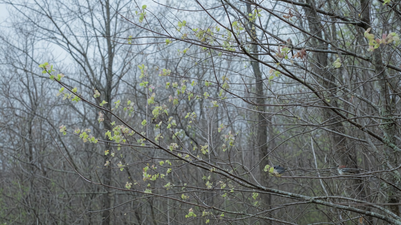
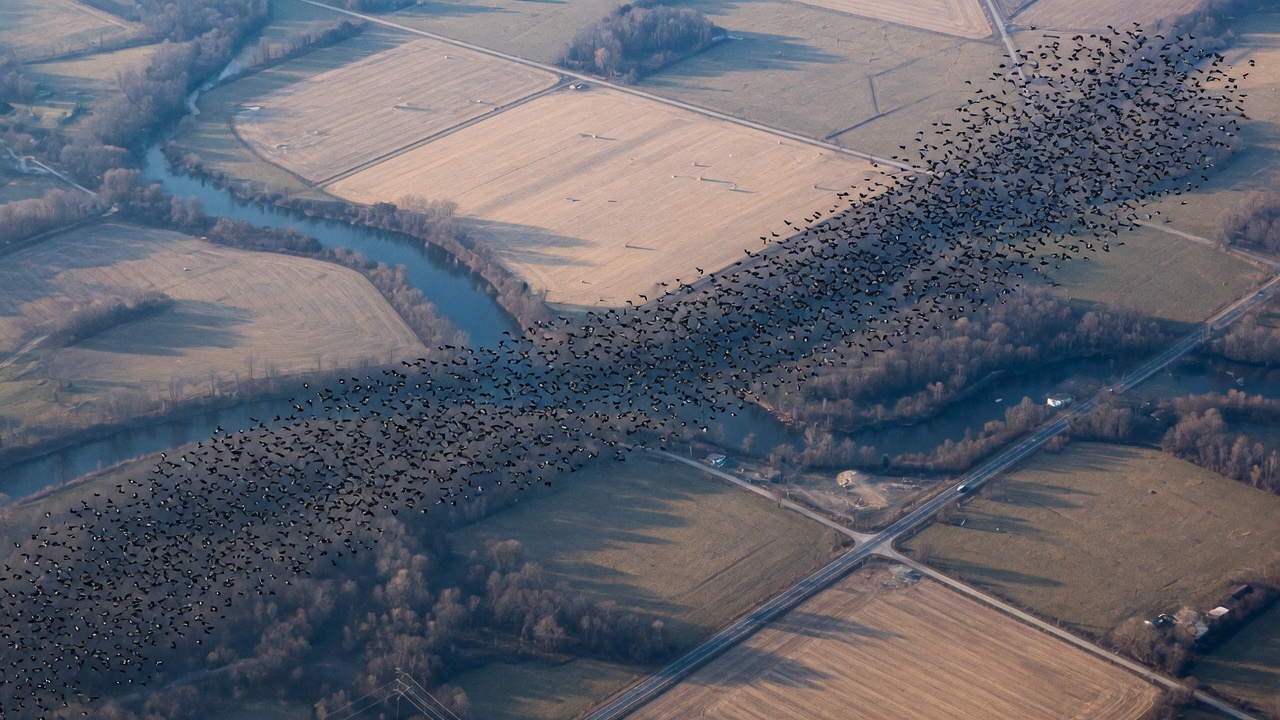
Songbirds do not file through a named pass. They move on a broad front, mostly at night, and stop wherever the landscape still offers food, cover, and a place to land. That lack of site fidelity was long taken to mean that stopover habitat was interchangeable. Radar has made the claim harder to hold.
Jeffrey Buler, Frank Moore, and colleagues, working the Mississippi coast, found that densities of migrants increased with the amount of hardwood forest in the surrounding landscape—most strongly, in their multi-scale analysis, within a radius of about five kilometres—and with proximity to the Gulf. After a trans-Gulf flight in spring, many birds appear to land in the first coastal belt they can, then seek richer forest farther inland on later stops. In autumn the logic reverses: birds fatten in inland forest before the water. Emily Cohen, Buler, and others later estimated that more than half of the birds passing the Gulf and south-eastern Atlantic coasts stop there. The coast is not scenery. It is a refueling dock.
Fengyi Guo, Buler, David Wilcove, and colleagues, mapping five years of weather-radar stopover across the eastern United States, identified hotspots covering on the order of 2.5 million hectares. Only about seventeen percent of those sites were hotspots in both spring and autumn. Deciduous forest was the dominant habitat; fragments embedded in farmland had an especially high chance of being hotspots, particularly in spring in the agricultural Midwest. Only about a third of the hotspots had any protected status, and more than half of those protected patches were open to extractive uses. In a related autumn analysis the same team described the Corn Belt as a manufactured barrier: birds pile up along its forested edges because the interior offers so few places to land.
Delaware Bay is famous for shorebirds and horseshoe-crab eggs. It is also, in point-count work and later radar, a concentration of landbird stopover along bayshore forests and marsh hummocks. Sea-level rise and development do not need to erase a breeding ground in Canada to hurt the bird. They need only take the thicket it had counted on for three days in May.
Glass and light, treated at length elsewhere in this magazine, are the urban versions of the same missing node. A migrant that is drawn into a lit city and then meets a window has not failed at navigation. It has arrived at a stopover that was never designed as one.
A river with doors that do not open
Salmon make the corridor visible because it is water, and because we poured concrete across it on purpose. Anadromous fish are born in gravel, go to sea, and return. Every dam is a statement about whether that sentence is still allowed to be true.
In the Columbia River Basin, Grand Coulee and Chief Joseph dams block anadromous passage to the upper Columbia. Hells Canyon closed the Snake to salmon above it. The Northwest Power and Conservation Council has noted that some dams have no fish passage at all, and that such blockages, together with the larger hydropower system, cut off access to more than forty percent of the habitat once available to salmon and steelhead in the basin. NOAA Fisheries has described federal dams on the Columbia and Snake as the single greatest threat to most remaining runs in freshwater, among a list that also includes harvest, hatcheries, and habitat. Juvenile survival through the hydrosystem is, as a general pattern, inversely related to the number of projects a smolt must pass. Turbines kill. Reservoirs slow the current, warm the water, and lengthen exposure to predators. Adult fish ladders exist at many mainstem dams and are not nothing. They are also not a river.
The four lower Snake River dams are the current center of a scientific and political argument about breaching. A 2022 review by A. J. Storch and colleagues concluded that those dams constrain survival and productivity, that many Snake River stocks remain at high extinction risk, and that removing the four would be an action likely to prevent extirpation for several species in the basin. Other analyses emphasize hatchery effects, ocean conditions, and the cost of replacement power. Flying River will not pretend that a magazine paragraph can settle a hydropower ledger. It will say what is not in serious dispute: a dam without passage is the end of a highway. A dam with passage is a toll that some populations can pay and some cannot. In-river survival estimates, updated annually from PIT-tagged fish, remain the empirical record of that toll.
There is a repair on the other side of the same idea. Condit Dam on the White Salmon River, removed in 2012, reopened historical Chinook spawning ground. The Elwha dams in Washington, taken down in the 2010s, returned a river to the Strait of Juan de Fuca and, with it, salmon that had been waiting below the concrete. Restoration is slower than a headline. It is also evidence that a corridor, unlike a species, can sometimes be put back.
Monarchs, and the refusal of a single villain
The monarch butterfly is the insect the public already believes is a migrant, and it is a poor vehicle for a simple story. Eastern North American monarchs travel from breeding grounds as far as Canada to oyamel fir forests in the mountains west of Mexico City. Western monarchs overwinter in coastal groves in California and Baja. Both migratory populations have declined, as measured at those overwintering sites, since systematic counts began in the 1990s. The U.S. Fish and Wildlife Service, in its species-status assessment, lists the primary drivers as loss and degradation of habitat—grassland conversion, herbicides that remove milkweed from the agricultural landscape, logging and thinning at Mexican overwintering sites, incompatible management and senescence of California groves, urban development, drought—plus insecticides and climate.
Lincoln Brower, Karen Oberhauser, John Pleasants, and others documented the loss of milkweed in Midwestern corn and soybean fields after the adoption of herbicide-tolerant crops. Chip Taylor’s group and others have treated that loss as a central breeding-habitat failure. Later hierarchical analyses, including work led by Erin Zylstra, found that for 2004–2018, breeding-season weather explained far more of the year-to-year variation in summer numbers than milkweed metrics did—without erasing the earlier, structural loss of host plants. Overwintering forest in Mexico is a tiny, irreplaceable node: a handful of colonies on a few hectares of occupied forest in poor years, inside a larger reserve whose microclimate fails if the canopy is opened. Western counts fell from millions in the 1980s toward tens or hundreds of thousands, with a population-viability analysis by Cheryl Schultz and colleagues estimating a decline of more than ninety-five percent since the 1980s.
The monarch is therefore a corridor story and a pesticide story and a climate story and an overwintering-forest story. To choose one is to mis-draw the map. What it shares with the wildebeest and the warbler is the geometry: a journey that fails if any essential stop is missing. Milkweed in a breeding county, nectar along a flyway, a fir forest that still holds heat and sheds rain—each is a node. Protecting the Mexican reserve while the Midwestern breeding landscape becomes a herbicide desert is the same error as protecting Grand Teton while fencing Trapper’s Point.
Endpoints are not a journey
National parks, Ramsar wetlands, and famous wintering bays attract money and law. Stopovers attract the remainder. Guo’s radar map is the quantitative version of a complaint conservationists have made for years: breeding habitat receives more protection than the places birds actually land in April. Cohen’s stopover-to-passage ratio makes the complaint sharper. A site that intercepts a high fraction of the birds flying over it is doing work that a larger, emptier landscape is not. The Gulf coast in spring is such a place. A five-hectare woodlot in an Illinois county of corn may be another.
The same logic applies on land to ungulates. The Serengeti is not in doubt as a dry-season range. The Loita Plains were the neglected half of a smaller migration, and they were neglected because they looked like ranchland. Wyoming’s pronghorn summer in a park and die, when they die of a closed corridor, on BLM land and private sagebrush. Salmon are listed as endangered stocks in a river whose headwaters may still look clean. The listing does not reopen Grand Coulee.
Climate adds a temporal version of the missing node. Long-distance migrants often time departure by photoperiod and by conditions far from the breeding ground. Springs at the destination have been advancing. The result, treated in more detail in this magazine’s phenology essay, is a bird that arrives to a food peak that has already passed. That is not a fence. It is a schedule conflict on the same highway. A corridor that is spatially intact can still be temporally empty. The two failures will be easy to confuse in a quiet year.
Ordinary land
If the highway is invisible, the repair will not look like a monument. It will look like a decision not to fence a gap, or to replace the bottom strand of a wire fence with a smooth bar that a pronghorn can crawl under. It will look like a hedgerow left between fields, a practice European landscapes still remember and North American industrial agriculture mostly does not. Hedgerows, riparian strips, and fencerow woods are not wilderness. They are the remaining edges along which a small mammal, an insect, or a tired warbler can move. River margins are corridors that also happen to be hydrological infrastructure. A wetland that has not been drained is a rest stop that also stores floodwater. None of these uses requires a visitor centre.
Glass can be patterned, lights can be timed, dams can be notched or removed, culverts can be made passable to fish, highways can have overpasses that animals will use if they are built in the right place and with the right approaches. The literature on crossing structures is now large enough to say that they work when they are not afterthoughts. The literature on fences is large enough to say that a wildlife-friendly design is a real category, not a euphemism.
What “following the connection” asks is that we see a hedge, a mudflat, a dark ridgeline as infrastructure. Not metaphorically. As the physical plant of a movement we barely notice because we do not travel that way. If we follow it far enough, the question is no longer whether we like wildlife. It is whether we are willing to leave a lane open in a landscape we have otherwise filled.
The animals will continue to use the old map until they cannot. Our maps will continue to show parks and property lines. The work is to put the journey on the second map before the first map goes blank.
Sources
- Ogutu, Joseph O., et al. “Wildebeest Migration in East Africa: Status, Threats and Conservation Measures.” bioRxiv (2019), and related published syntheses of East African wildebeest migrations.
- Stabach, Jared A., et al. Mapping in the Atlas of Ungulate Migration (Global Initiative on Ungulate Migration / CMS) of Mara–Loita white-bearded wildebeest; Smithsonian National Zoo and Conservation Biology Institute summaries of fencing and range contraction.
- Schwandner, et al. “Predicting the Impact of Targeted Fence Removal on Connectivity in a Migratory Ecosystem.” Ecological Applications (2025).
- Løvschal, Mette, et al. Work on fence expansion in the Greater Masai Mara Ecosystem.
- Berger, Joel. “Is It Acceptable to Let a Species Go Extinct in a National Park?” Conservation Biology (2003), and subsequent Path of the Pronghorn advocacy.
- Berger, Joel, and Steven L. Cain. Documentation of the Grand Teton–Green River pronghorn migration; Bridger-Teton National Forest plan amendment, 2008, designating the Path of the Pronghorn.
- Beckmann, Jon P., K. Murray, R. G. Seidler, and Joel Berger. “Human-Mediated Shifts in Animal Habitat Use: Sequential Changes in Pronghorn Use of a Natural Gas Field in Greater Yellowstone.” Biological Conservation 147, no. 1 (2012): 222–233.
- Sawyer, Hall, Jon P. Beckmann, Renee G. Seidler, and Joel Berger. “Long-Term Effects of Energy Development on Winter Distribution and Residency of Pronghorn in the Greater Yellowstone Ecosystem.” Conservation Science and Practice 1, no. 9 (2019): e83.
- Kauffman, Matthew J., et al. Ungulate Migrations of the Western United States (USGS series), including Sublette pronghorn.
- Buler, Jeffrey J., Frank R. Moore, and Stefan Woltmann. “A Multi-Scale Examination of Stopover Habitat Use by Birds.” Ecology 88, no. 7 (2007): 1789–1802.
- Buler, Jeffrey J., and Frank R. Moore. “Migrant–Habitat Relationships during Stopover along an Ecological Barrier: Extrinsic Constraints and Conservation Implications.” Journal of Ornithology 152 (2011): 101–112.
- Cohen, Emily B., et al. “A Place to Land: Spatiotemporal Drivers of Stopover Habitat Use by Migrating Birds.” Ecology Letters 24, no. 2 (2021): 245–256.
- Guo, Fengyi, Jeffrey J. Buler, Jaclyn A. Smolinsky, and David S. Wilcove. “Autumn Stopover Hotspots and Multiscale Habitat Associations of Migratory Landbirds in the Eastern United States.” Proceedings of the National Academy of Sciences 120, no. 3 (2023): e2203511120.
- Guo, Fengyi, Jeffrey J. Buler, Jaclyn A. Smolinsky, and David S. Wilcove. “Seasonal Patterns and Protection Status of Stopover Hotspots for Migratory Landbirds in the Eastern United States.” Current Biology 34, no. 2 (2024): 235–244.
- NOAA Fisheries. Recovery planning and status reviews for Columbia and Snake River salmon and steelhead; documentation of passage blockage at Grand Coulee, Chief Joseph, and Hells Canyon, and of hydrosystem survival.
- Northwest Power and Conservation Council. Historical summaries of fish passage at dams and habitat blocked in the Columbia Basin.
- Storch, A. J., et al. “A Review of Potential Conservation and Fisheries Benefits of Breaching Four Dams in the Lower Snake River (Washington, USA).” Water Biology and Security 1, no. 2 (2022): 100030.
- NOAA Fisheries. Annual PIT-tag reports on juvenile salmonid survival through Snake and Columbia River dams and reservoirs.
- U.S. Fish and Wildlife Service. Species Status Assessment Report for the Monarch Butterfly (Danaus plexippus), 2024.
- Brower, Lincoln P., et al. Work on eastern monarch decline and overwintering habitat in Mexico.
- Pleasants, John M., and Karen S. Oberhauser. “Milkweed Loss in Agricultural Fields Because of Herbicide Use: Effect on the Monarch Butterfly Population.” Insect Conservation and Diversity 6, no. 2 (2013): 135–144.
- Semmens, Brice X., et al. “Quasi-Extinction Risk and Population Targets for the Eastern, Migratory Population of Monarch Butterflies (Danaus plexippus).” Scientific Reports 6 (2016): 23265.
- Schultz, Cheryl B., Leone M. Brown, Emma Pelton, and Elizabeth E. Crone. “Citizen Science Monitoring Demonstrates Dramatic Declines of Monarch Butterflies in Western North America.” Biological Conservation 214 (2017): 343–346.
- Zylstra, Erin R., et al. “Changes in Climate Drive Recent Monarch Butterfly Dynamics.” Nature Ecology & Evolution (2021).
- Convention on the Conservation of Migratory Species of Wild Animals (CMS) and Global Initiative on Ungulate Migration. Atlas of Ungulate Migration.
The animals are not lost. The map is.
Follow the connection
- Breeding ground
- Stopover
- Barrier
- Remaining corridor
- Wintering ground
What we know
- Many species move seasonally along relatively consistent routes and stopover sites.
- Roads, fences, glass, light, and converted land can break those routes into dead ends.
- Protecting a summer range while losing a rest stop can still collapse a journey.
What remains uncertain
- How much plasticity a given population has—whether it can reroute—varies.
- Climate shift is moving the timing of food relative to the timing of arrival.
- The minimum corridor width for a species is not a number we should fake.
What can we do?
You don't have to care about this because everyone else does. You can care because the evidence gives you a reason to.
- Support habitat that looks ordinary: hedgerows, wetlands, river margins, unlit stretches.
- Reduce bird-glass collisions where you have a building.
- Back corridor conservation even when the land is not a park with a postcard.
Demonstration authors are fictional. The phenomena discussed are real subjects of public scientific literature and reporting. Sources named in the article are documented; this is not a comprehensive literature review.